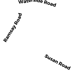
6 RAMSAY RD
Owner Information
GOCHMAN TODD
6 RAMSAY RD
MARBLEHEAD, MA 01945-1363


Property Details
6 RAMSAY RD is classified as a Single Family Residential (Cape).
The primary structure on this property was built in 1949. There are 2,135ft2 of built area within this property. There is 2,135ft2 of residential/living space within this property. This property is listed as having 6 rooms.
6 RAMSAY RD is valued at $688,500. The land is valued at $429,100 and the structures are valued at $259,400.
This property is in Zone SR. Confirm with local Zoning Board authorities to ensure there are no overlays or other easements on this property.
The most recent deed for 6 RAMSAY RD is recorded at the local registrar in Book 32513, Page 318. 6 RAMSAY RD was last sold on Thursday, May 30, 2013 for $570,000.
Assessment data from fiscal year 2022.
Flood Data
According to the FEMA National Flood Hazard Layer, this property does not appear to be in a flood zone. It may also be in an area not yet reviewed. Nonetheless, confirm this information prior to taking any action.
To view the flood hazards around this property, create a FEMA "Firmette" Map of the area around 6 RAMSAY RD.
Broadband Internet Providers
| Provider | Type | Bandwidth (mbps) | |
|---|---|---|---|
| Comcast | Cable | 1000 | 35 |
| GCI Communication Corp. | Satellite | 0 | 0 |
| VSAT Systems, LLC. | Satellite | 2 | 1 |
| Verizon New England Inc. | Fiber | 940 | 880 |
| Viasat Inc | Satellite | 100 | 3 |
| HughesNet | Satellite | 25 | 3 |
Broadband service provider data from December 2020.
Adjacent Properties
- 291 WEST SHORE DR
Single Family Residential owned by JACOBUS JENNIFER K - 289 WEST SHORE DR
Single Family Residential owned by COOPER WHITNEY C - 49 TURNER RD
Single Family Residential owned by KEOUGH JOHN J - 45 TURNER RD
Single Family Residential owned by MICHAUD GAIL B - 8 RAMSAY RD
Single Family Residential owned by KLAUBER GEORGE T